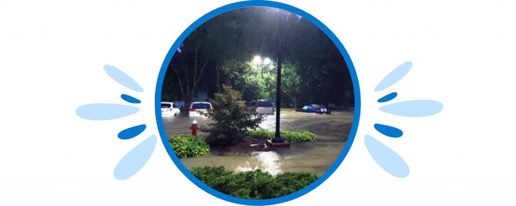
Even with today's technology, it's hard to know precisely when, where and how weather-related damage will occur. Flooding costs are expected to rise drastically during the next 20 years and climate change is a constant threat. Unfortunately, natural disasters are here to stay, but we can try our best to minimize the destruction they cause - including predicting and preparing for floods. Using SAS® AI, organizations and hackathon teams are working to make the world a safer place. Here you'll find a list of incredible contributions designed to help reduce flooding damage worldwide.

Disaster relief in Australia
This year brought record floods and fires to Australia. The endangered koala is trying to hang on with destroyed habitats and homes. Using SAS AI, Attentis, an Australian technology firm, has designed and manufactured intelligent sensors that provide officials and emergency response teams with real-time information and monitoring. Understanding threats to koalas – habitat-destroying bushfires and floods – can help scientists assess the population's health and develop strategies to sustain koala numbers.

Team Deloitte: Disaster response AI
The latest data shows that floods accounted for more than 6,000 deaths and billions of dollars in damage in Canada. Team Deloitte (a SAS Hackathon participant) uses Disaster Response AI (DRAI) to advise the Canadian government and relevant organizations about areas within the country that are susceptible to flooding. DRAI ensures the Canadian government and other organizations can make more informed decisions and allocate resources when a natural disaster occurs.

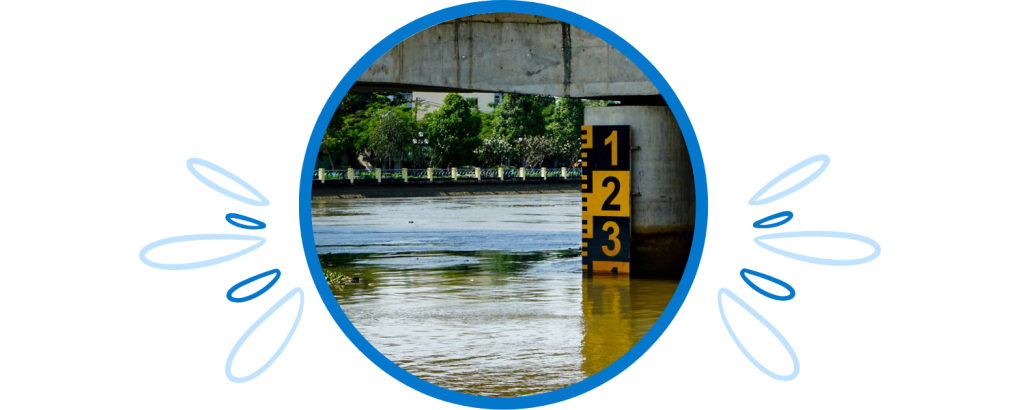
Smart City Heidelberg
Heidelberg, Germany, is home to some of Europe's largest and oldest universities. It's also a hub for innovation. Over its long history, Heidelberg has been regularly damaged by flooding. The most recent was a flood disaster in the Ahr Valley in 2021. With a technological innovation center in the city, Heidelberg has been able to use existing instruments to help predict flood patterns with greater accuracy.
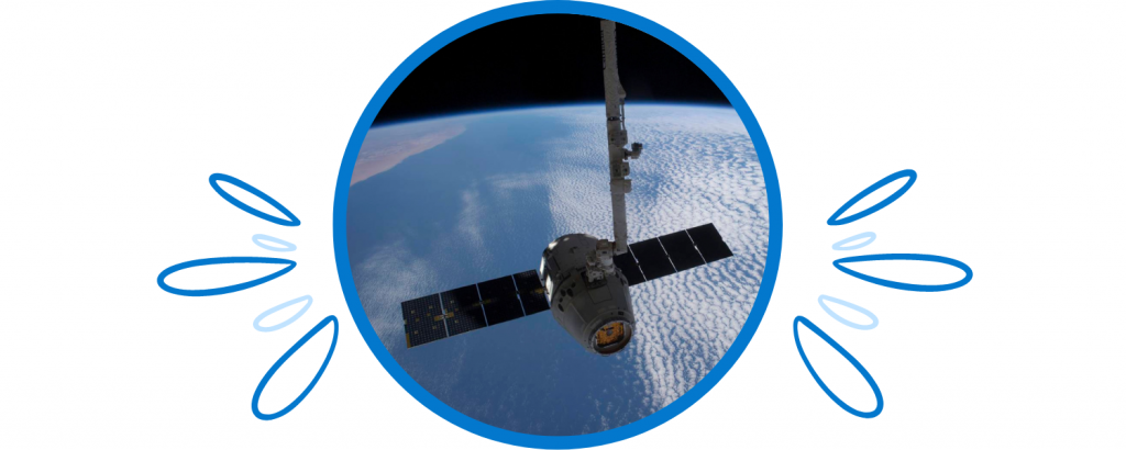
Natural risk assessments using satellite data
Satellite data is beneficial in many familiar and surprising ways, including observing population growth, predicting pollen levels and measuring water levels. The LiveEO team participated in the SAS Hackathon using public and commercial satellite data to create a flood-risk model. This model helps predict and prevent flooding disasters in Germany.
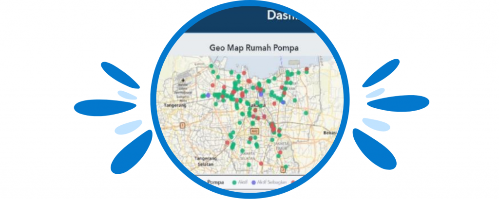
Town of Cary
As Cary, North Carolina's population grows, this smart city has a team of people dedicated to using IoT and cloud technology to benefit the community. By analyzing streaming data from solar-powered, stormwater sensors, Cary officials can help ensure that citizens are better protected from flooding events and that local watersheds are safeguarded.