I guess a coding dinosaur is someone who uses an old/legacy computer language, or at least a language that isn't en vogue these days. Coding dinosaurs are still around (and probably will be for a while), whereas the real dinosaurs that lived millions of years ago are extinct. What caused
Tag: maps
Water is in the news more & more lately - people seem to either have too much, or too little, at any given time. Therefore being able to plot rivers and lakes on a map could be a very useful skill to add to your graphical bag of tricks. A few
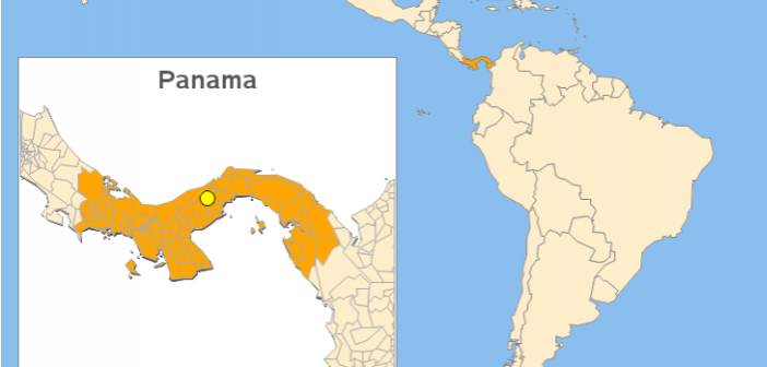
While attending SAS Global Forum, a user asked me about creating a map with a zoomed inset map. This is a topic many users might be interested in, so I decided to create an example and share it. But first, I had to decide which map to use. I thought
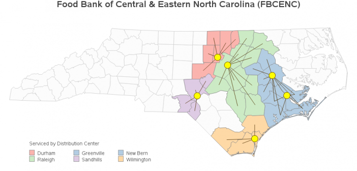
In the aftermath of a natural disaster, most people want to help by donating supplies, money, etc. And then it becomes a matter of logistics - getting all those donations to the people who need them. We recently had several days of rain and flooding in North Carolina, and I
You've got a database containing the addresses of all your customers ... but how can you plot them on a map or analyze them spatially? First, you'll need to convert the address into a numeric coordinate (latitude & longitude). SAS can do that ... with Proc Geocode! But before we
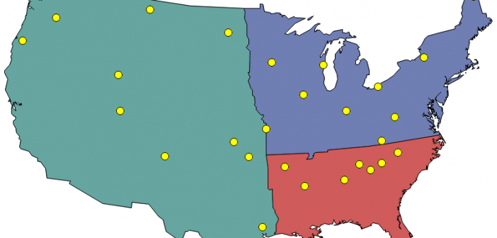
A new prospective customer enters their personal information on your web page, and they want to have a sales rep contact them ... but you need to know which sales region they're in, so you can assign them to a sales team. Now, multiply that by thousands of prospective customers!
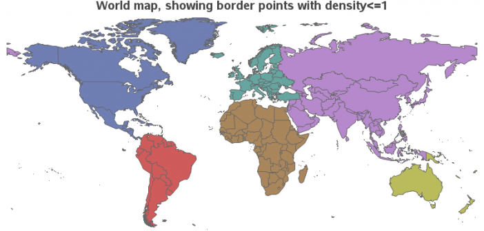
SAS provides a map for each country, but there are likely other maps you want to use that SAS does not provide. If you have other maps in the Esri shapefile format, you're in luck - you can import those maps and use them! In this blog post I share
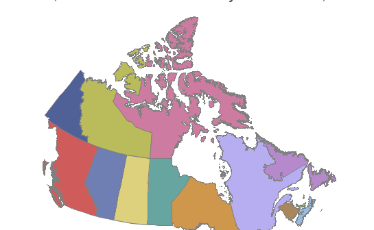
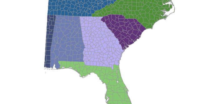
In recent versions of SAS/Graph, we have been shipping new/updated maps of each country, with 2 levels of detail (such as state & county, or province & division). But what if you only want a map showing the higher level of detail? In this blog post I share my third
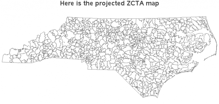
Have you ever seen a map that just didn't look right to you? Perhaps the map area seemed squished or stretched? Perhaps this was because they used a different map projection than you were accustomed to. Or maybe the map coordinates weren't projected at all. In this blog post I
With the advent of things like car GPS & Google Maps, and a steady supply of nice maps from certain news sources (such as the New York Times), people have finally embraced the idea that mapping data can be very useful. And if you are into data visualization, you have