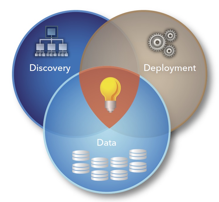
Get the right information, with visual impact, to the people who need it
Looking "beneath the dots" of geospatial data

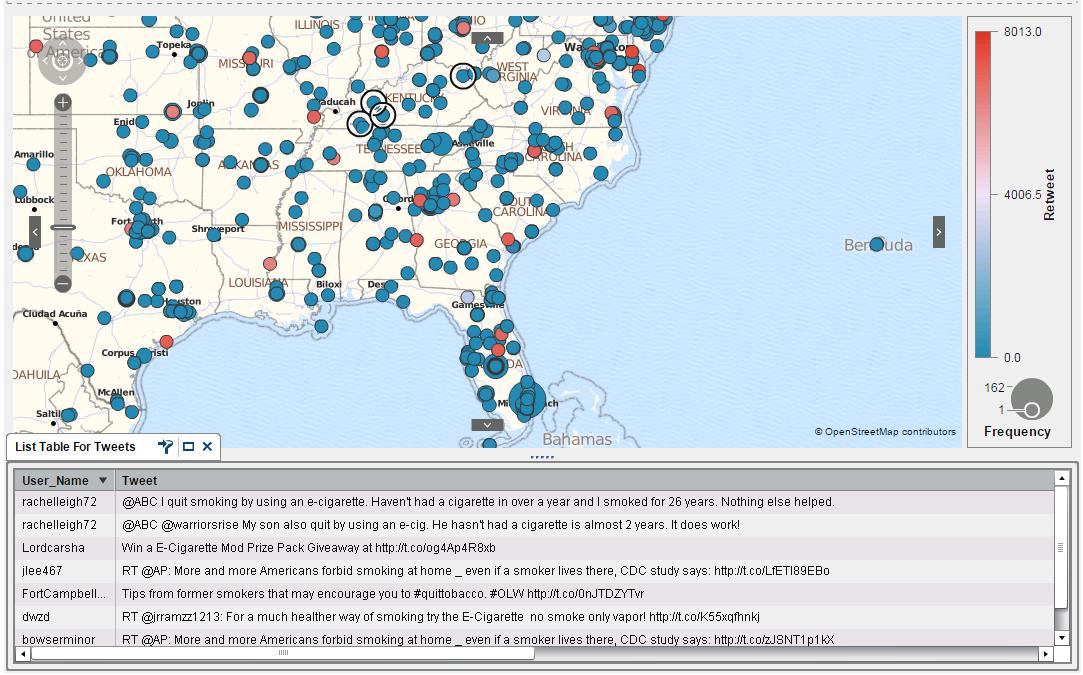
If you use a GPS system or a mapping app on your phone, you're familiar with geospatial intelligence. But did you know this same technology can be used to map the spread of diseases, to understand the spread of wildfires, to visualize environmental issues - and much more? The proliferation