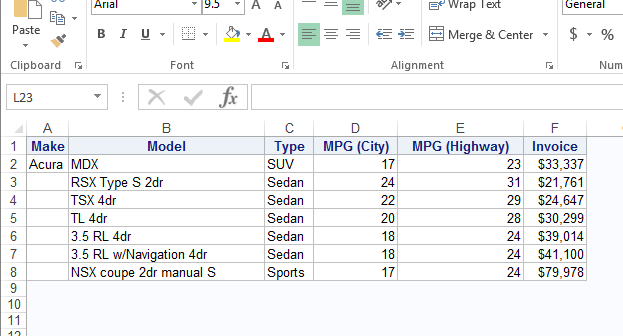
Building cars is towards the top of the manufacturing hierarchy - some countries are even known for the cars they build. If you want a good quality car, you probably think of Japan. If you want a stylish sports car, you probably think of Italy. If you want a diesel
English
You've got a database containing the addresses of all your customers ... but how can you plot them on a map or analyze them spatially? First, you'll need to convert the address into a numeric coordinate (latitude & longitude). SAS can do that ... with Proc Geocode! But before we
You're sitting in a line of cars at the intersection, waiting for the light to change - when it finally turns green, the 2nd car just sits there for several seconds until someone honks at them, and then they scoot through the light ... but everyone behind them has to
Ok, so you know how to create multiple sheets in Excel, but can anyone tell me how to control the name of the sheets when they are all created at once? In the ODS destination for Excel, the suboption SHEET_INTERVAL is set to TABLE by default. So what does that
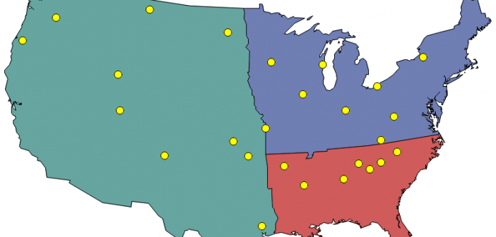
A new prospective customer enters their personal information on your web page, and they want to have a sales rep contact them ... but you need to know which sales region they're in, so you can assign them to a sales team. Now, multiply that by thousands of prospective customers!
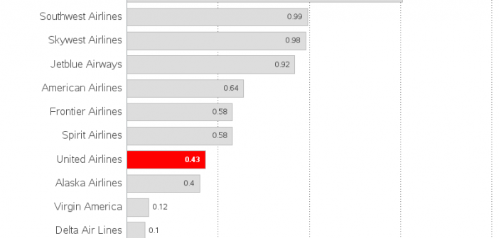
You've probably all seen the images of the passenger being forcibly removed from a United Airlines flight, to make room for airline staff flying on standby. The incident caused quite a bit of negative publicity, and quickly wiped out a quarter billion $ of the airline's market value. But did
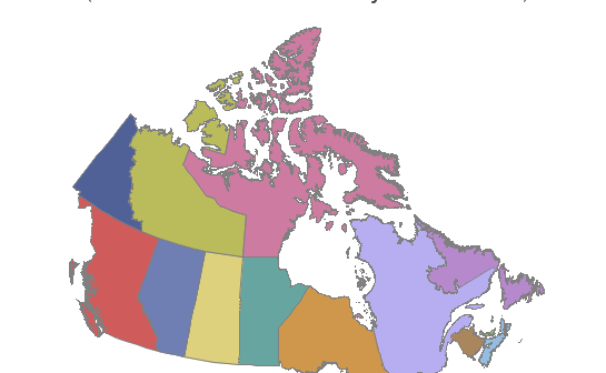
SAS provides a map for each country, but there are likely other maps you want to use that SAS does not provide. If you have other maps in the Esri shapefile format, you're in luck - you can import those maps and use them! In this blog post I share
I recently asked a SAS user, “Which interface do you use for SAS?” She replied, “Interface? I just install SAS and use it.” “You’re using the SAS windowing environment,” I explained, but she had no idea what I was talking about. This person is an extremely sophisticated SAS user who
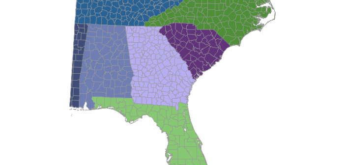
In recent versions of SAS/Graph, we have been shipping new/updated maps of each country, with 2 levels of detail (such as state & county, or province & division). But what if you only want a map showing the higher level of detail? In this blog post I share my third
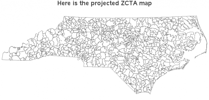
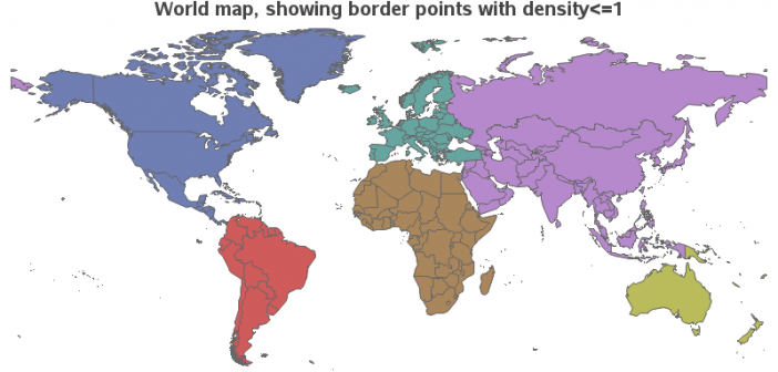
Have you ever seen a map that just didn't look right to you? Perhaps the map area seemed squished or stretched? Perhaps this was because they used a different map projection than you were accustomed to. Or maybe the map coordinates weren't projected at all. In this blog post I