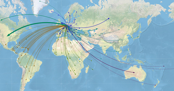
More than 3.5 percent of the world’s population is on the move, considered international migrants. That’s more than 250 million people living in a country different than their country of birth or nationality. To put that another way, if all migrants lived in a single country, their population would be
Tag: geospatial mapping
The world is on the move: Exploring migration with network analysis
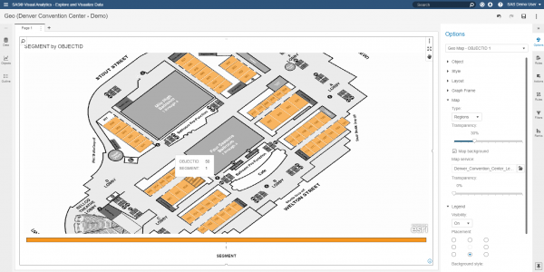
Building and visualizing custom polygons in SAS Visual Analytics
Can you use a data visualization tool to display building maps, floor designs and other Esri data? With the recent addition of custom polygon support in SAS Visual Analytics 8.2, customers wondered if this feature can be utilized to render different types of regional overlays. A common request is to
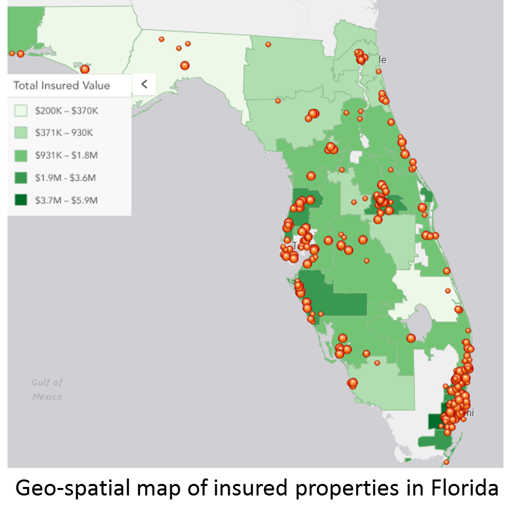
Location, Location, Location
If you buying or selling a house. The relator will tell the value of the property is all about location, location, location. For insurance companies location is just as important. For an underwriter assessing the risk on a property is essential that they consider the location of the property. How