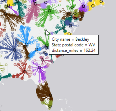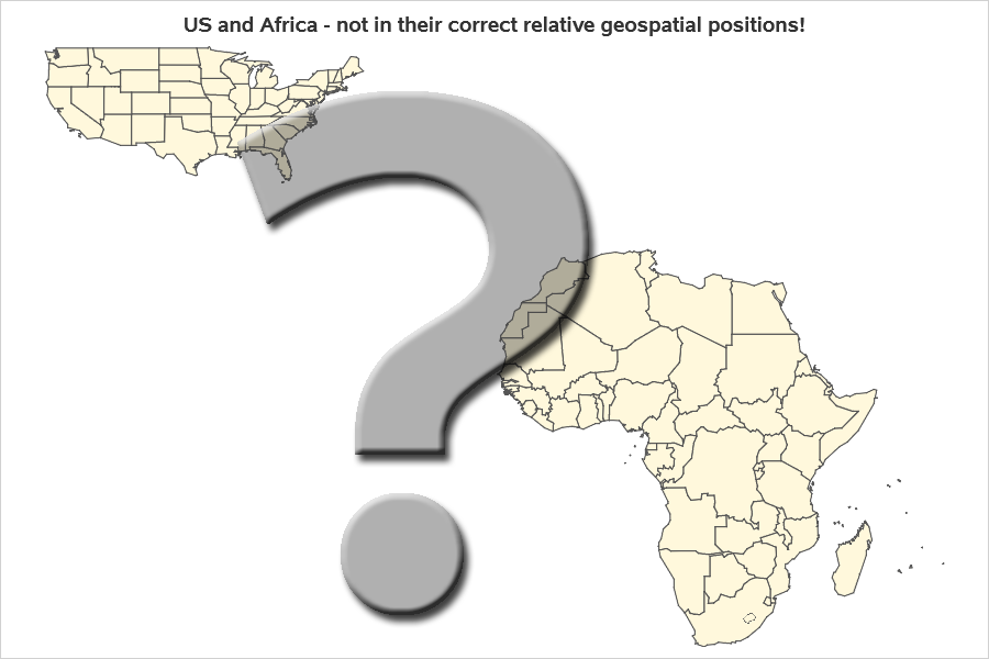
In a discussion on a Reddit map group, someone claimed "Maine is the US state closest to Africa." Is that true? Can I use my SAS mapping tools to confirm, or bust, this myth? Follow along, as I dive in! ... The Map in my Head (Wrong!) My gut instincts
Tag: geodist()
There are many ways to add more "visual impact" to your maps. Some techniques grab the users' attention, but often don't add anything useful to the message the map is trying to convey (such as 3D tricks, or flashy/gratuitous images and infographics). I encourage you to design maps that have
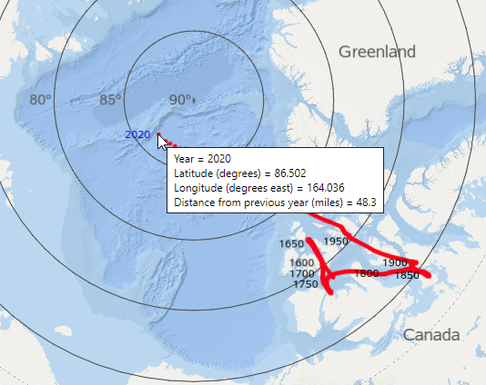
I've read several articles that mentioned the north magnetic pole has been moving more in the past few decades, than in the previous few hundred years. And as a Map Guy, I knew I just had to plot this data on a map, and see it for myself! I provide
Everything's big in Texas - at least that's what they say! Therefore let's have a bit of graphical fun, and use Texas as a unit of measure (let's call it a 'tex'). More on that later - but first, here's a picture of my friend Jennifer posing beside a rather