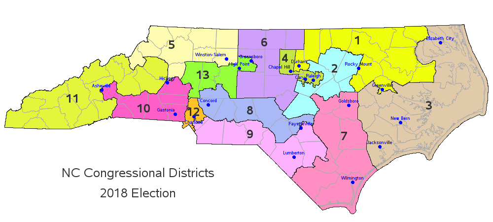
North Carolina recently re-drew the congressional district boundaries for the upcoming 2020 election. Here's a copy of the new map, from the ncleg.gov website: A couple of years ago, I created an enhanced version of the 2016/18 map, and I thought I'd do the same for the new 2020 map...
Tag: congressional districts
Plotting NC's new congressional districts maps for 2020
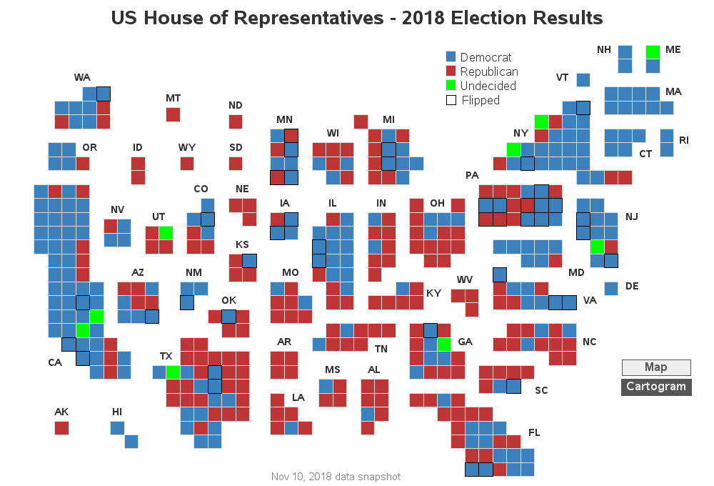
Building a better election map
The US 'midterm' elections have finally started to wind down, and we finally have some (mostly) finalized results to study. But what's the best way to visualize who won the US congressional seats in each of the 435 districts? Let's dive into this topic!... Preparation For starters, I couldn't find
Enhancing a congressional district map - one layer at a time
With the recent midterm elections here in the US, I frequently saw congressional district maps popping up in the news. And being a GraphGuy, I wanted to fully understand these maps, to see if I might could improve them. If you're interested in congressional district maps, follow along as I