Do you need help picking a summer vacation destination - one that's not just great, but surreal? If so, this blog's for you!
It's that time of the year again - I've got gobs of vacation time saved up, but I was drawing a blank on where to go... So I turned to my trusty pal Google, did a few searches, and found an interesting article about the 18 most surreal places in the US. A veritable bucket list of summer destinations that could satisfy my vacation appetite for years to come!
The article listed each location, gave a short description, and included cool photos. This was great for getting started, but it just wasn't quite the interface to the data that I wanted:
Being one of those geographically challenged Americans, I didn't really have a concept of exactly where these places were located, just based on their names. I had a general idea (say, within 500 miles), but I'm more of a "GPS Person" when it comes to locating a place I haven't been to before.
So I created a SAS dataset with the lat/long location of each of these destinations, and plotted the locations as markers on a map. I set up html tags so you can hover your mouse over each marker to see the name, and click on them for more info.
I don't usually let you see the intermediate (bad, or less good) versions of my maps, but I'm including this one, so you can see the difference in it and the final map. There were a couple of destinations in Alaska, so I included Alaska and Hawaii in the bottom corner of the map. This is the traditional place to put these two states so they fit conveniently onto the page, but it just didn't feel right clicking on something that was visually south of California (on the page layout, at least), to see images of the Northern Lights.
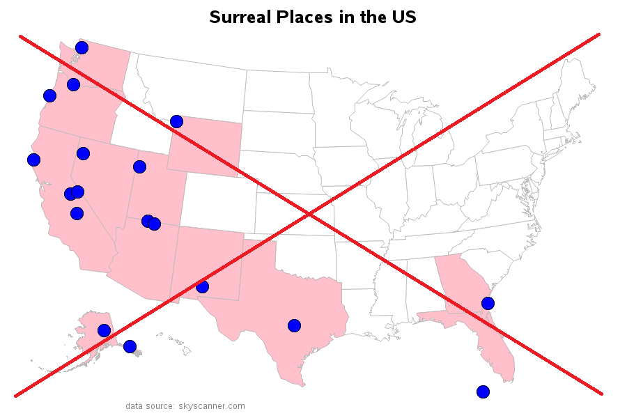
To make the map layout more geographically intuitive, I wrote some code to move Alaska up north of California, and then utilized the white space over the Great Lakes for my title and footnote text. This is one of those neat things you can do with SAS/Graph, because it lets you customize the maps and the text! Now the map just feels better to me - maybe it's like a Feng Shui kind of thing for maps. :-)Mapping out your next vacation destination #travel #analytics Share on X
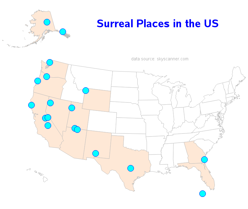
If you click the map image (above) it will take you to the interactive version, and then you can click the markers to see images of each location. And speaking of images, I asked my friends if they had any photos from their past trips to any of these places ... and sure enough, they did! Can you identify which surreal vacation spots these photos are from? (you can leave your guess in a comment)
Photo 1 (thanks Simone!)
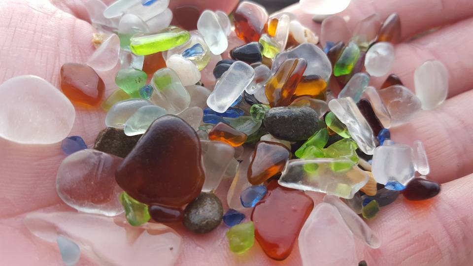
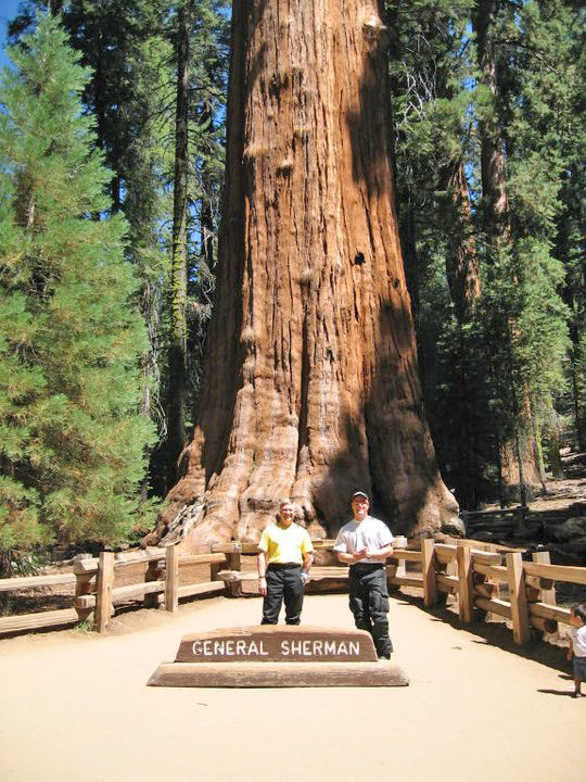
Photo 2 (thanks Evan!)
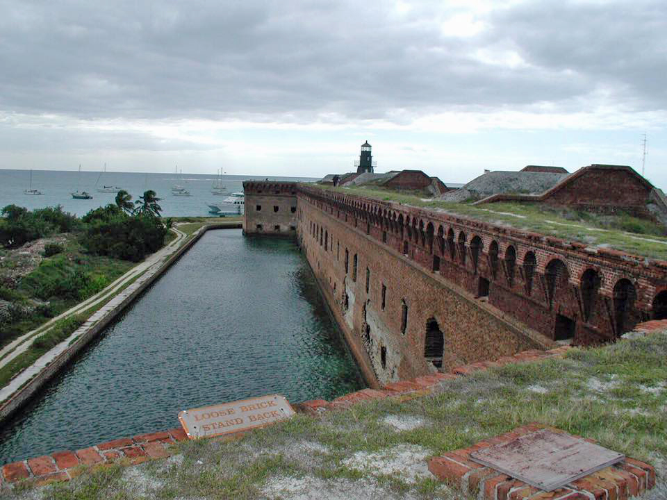
Photo 3 (thanks Simone!)
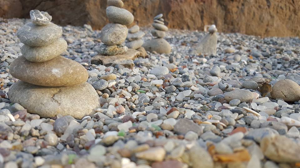
Photo 4 (thanks Mark!)


4 Comments
Add these locations to my bucket list!
Number 3 is the Dry Tortugas. I think I would have recognized it from the photo, but the dot way off the Florida coast also helped! In addition to being surreal, it has the distinction of being one of the Top 10 least visited National Parks in the US. It takes a while to get there, but it's worth the trip.
In case anyone decides to come to Texas and visit Hamilton Pool, starting May 15, 2016 you now need a reservation. https://parks.traviscountytx.gov/find-a-park/hamilton-pool. Come to Texas and get in line to enjoy a bit of nature!
Thanks for this important tip, Susan!