Fun with ODS Graphics: Eclipse animation (part 2)
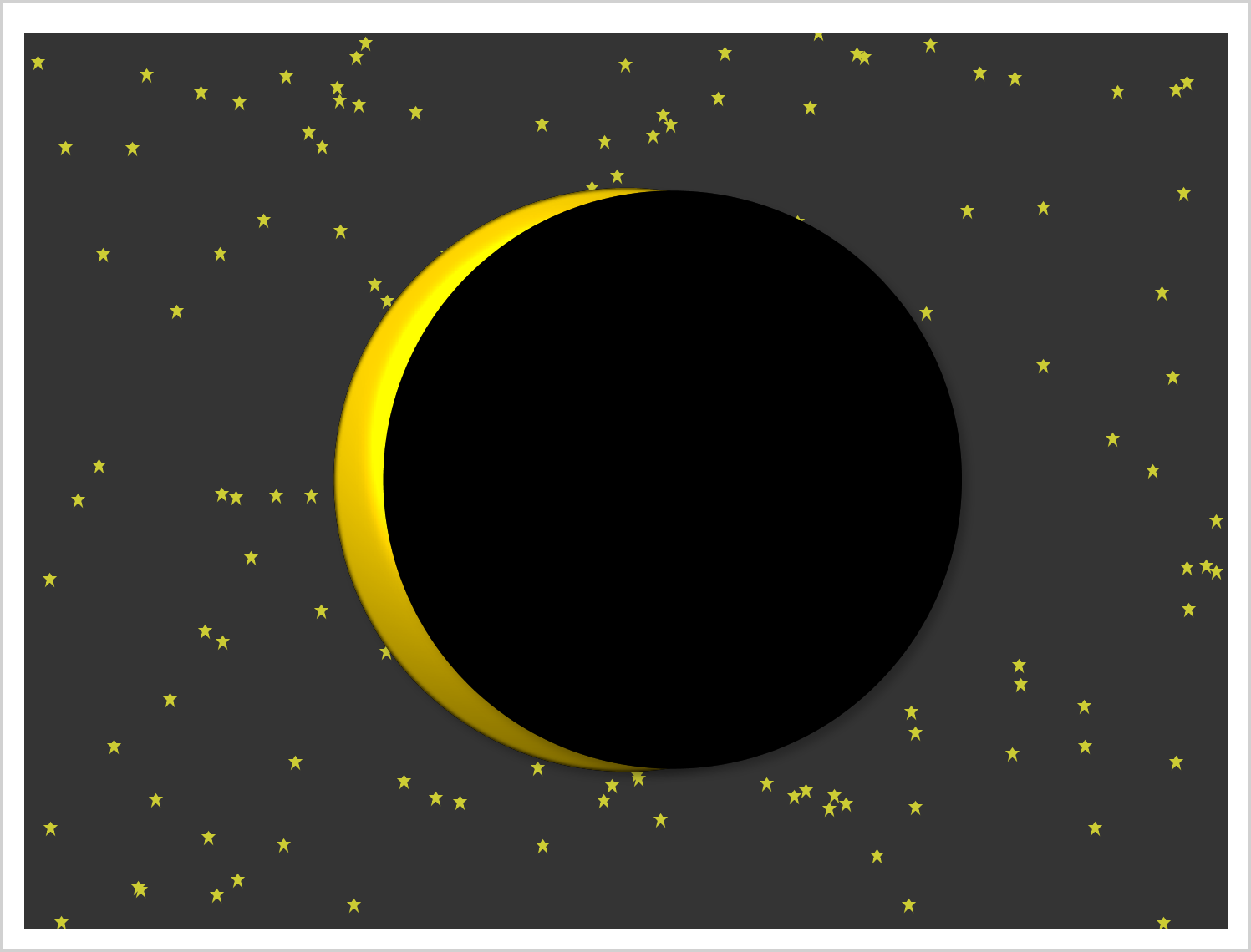
This example shows how to create two coordinated range attribute maps and use them in creating an animated gif of the eclipse.

This example shows how to create two coordinated range attribute maps and use them in creating an animated gif of the eclipse.

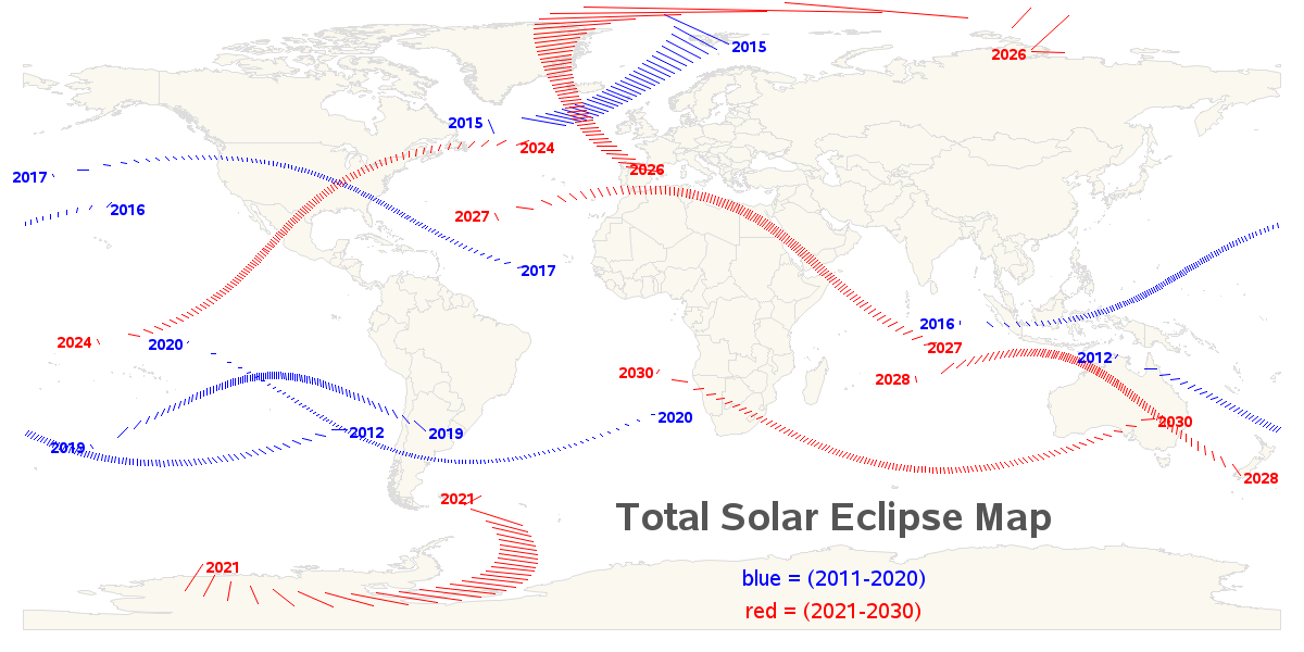
The U.S. was really fortunate in having the recent total solar eclipse pass through so many of its states! This gave lots of people an opportunity to see it, with just a short (or moderate) drive. I think a little kid spoke for all of us when they said "Let's

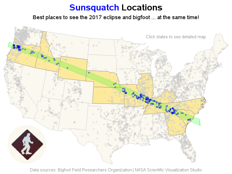
In the spirit of my Forecasting Sharknadoes blog post, I now bring you Sunsquatch! In this blog post, I create a map that helps you find a location where you can see the total eclipse *and* have a chance of seeing Bigfoot (aka, Sasquatch)! But before we get into the nitty-gritty