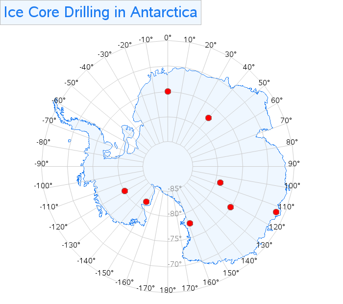
Mapping Antarctica, with a tile-based map
As we're getting into December, and the weather is getting colder, I thought it would be cool to plot some Antarctica data. You might remember I did this about 1.5 years ago, using good-old Proc Gmap, a special projection, and lots of tricky annotation. Well, this time let's use the

