The past few years, I've created maps showing things you might visit and do during the big SAS Global Forum (SASGF) conference. This year the conference is in Dallas, and ... you guessed it ... I've created a Dallas map!
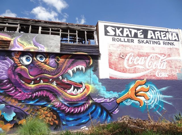
If you're familiar with my previous maps, you know that I don't just focus on the typical museums, zoos, and such ... I also try to include things that might be a little quirky and 'off the beaten path'. For example, I include the Graffiti Fabrication Yard in my Dallas map. My friend, and frequent SASGF attendee, Michelle Homes is a big fan of street art and graffiti, and here is a picture she took. Can you guess where this was?
Now, let's get back to Dallas! Below is a snapshot of my Dallas map - click on it to see the interactive version. The interactive version has mouse-over text for all the markers, and you can click on the markers to launch a Google search for the attractions.
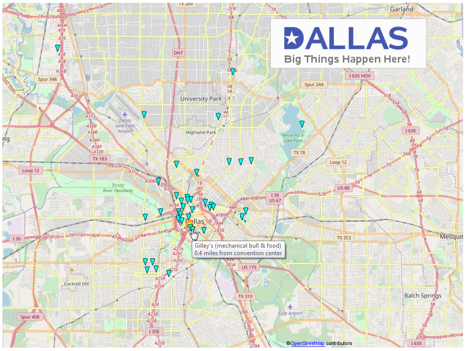
Hopefully this map will help you find fun & interesting things to do while you're in Dallas. "And your mission ... should you choose to accept it ..." find some interesting 'street art' while you're in Dallas, and post it on social media! (tag me, if you know how, so I'll see it!)
How'd He Do That?...
The map is a bunch of OpenStreetmap tiles annotated together on a Gplot. I use the geodist() function to calculate the distance from the conference hotel to each attraction, and then annotate markers for each of the attractions on the map at their latitude/longitude location. I use the variable called 'html' in the annotate dataset to encode the HTML tags for the mouse-over and the drill-down (Google search) for each attraction. Here's a link to the full SAS code, if you'd like to get into the details.
I guess the 'trickiest' part is the Dallas logo at the top/right of the map. Therefore I'll explain how I created it...
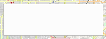
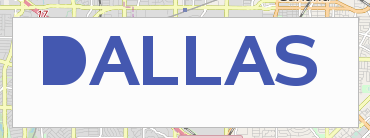
First, I created a very gray box.
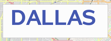
And annotated the word 'Dallas' in the box.
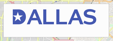
Then I annotated the Unicode text character '25a0'x (a filled-in box) over the 'D' to fill the interior of the 'D' with blue color.
Next I annotated a star character over the filled-in D (I used the 'ab'x character from the Wingdings font). I colored the star light gray, same as the background.
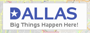
And for a finishing touch, I annotated some descriptive text below the word Dallas.
Isn't it cool, the things you can do with SAS!


1 Comment
I know where the picture was taken.,, I hope to take some street art pics of Dallas and will be sure to share on Twitter!
This post reminds me of your annual SASGF what to do posts and the cool logos you’ve done... Here’s a couple: Orlando - https://blogs.sas.com/content/sastraining/2017/01/13/what-to-do-in-orlando-during-sas-global-forum/ and Las Vegas - https://blogs.sas.com/content/sastraining/2016/04/05/things-to-do-in-vegas-while-at-sas-global-forum/