This week I noticed that they've started building the lot where they sell Christmas trees near SAS (at the intersection of Maynard & Reedy Creek Rd). They put up a nice rustic wooden fence, and lights, and maybe even a fire pit to keep their workers warm. They sell some nice looking real trees ... but what if you want to cut your own?!? There are several farms which let you do that - and I created a map to help you find them!
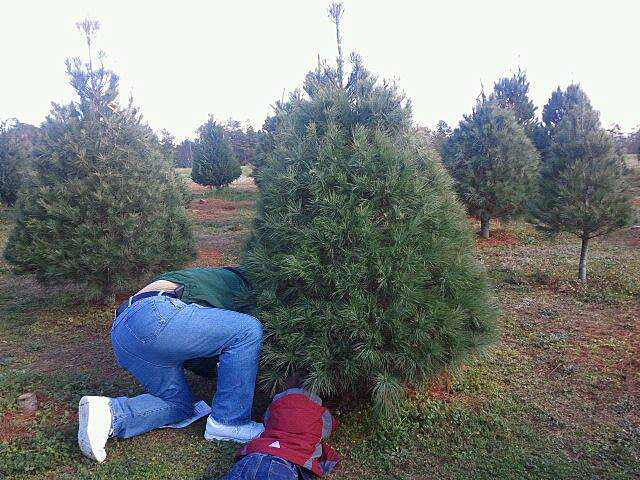
But before we get started with the data analysis, here's a picture of my friend Sara's family cutting their tree. Looks like a fun adventure, eh!?!
If you're going to cut-your-own Christmas tree, you need to decide whether you want to go somewhere close to where you live, or perhaps take a day trip to the mountains. Whichever you decide, a map of possible locations would come in handy. I did some checking, and found that the ncfarmfresh.com website seems to have one of the best lists of cut-your-own tree locations. I submitted the search on their page, and it listed 122 locations where you can cut-your-own tree. But it was really difficult to tell which farms were in the location I might want to go - a map sure would be helpful ... hint, hint!
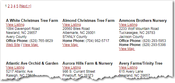
So I set about creating my own map. Unfortunately their list of locations wasn't in a simple csv file or spreadsheet, therefore I copy-n-pasted the information from their 5 pages of output into a text file, and wrote some code to read the data into SAS. It was a little tricky, since some locations had a few more, or a few less, lines of data than the others. But all of the locations (or, all except one) had a 'View Map' or 'View Website' link as their last line, so I was able to key off of that.
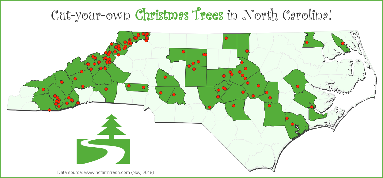
Once I had all the data parsed, I ran Proc Geocode to estimate the latitude/longitude coordinates based on the street address. I projected these coordinates the same way I had projected the NC map (using Proc Gproject's parmout= and parmin= options), and then annotated red markers at those locations. I used Proc SQL to get a list of all the counties containing a cut-your-own tree farm, and also plotted that data on the map - coloring those counties bright green. The green counties kind of look like holly leaves, and the red markers kind of look like berries. I used the 'Curlz MT' font for the title, and the image of the tree and the road is character '50'x from the 'Webdings' font.
And here's my festive-looking map. Click the image below, to see the full-size interactive version - you can then hover your mouse over the red markers to see the farm & city names, and click the red dots to launch a Google search for each tree farm.
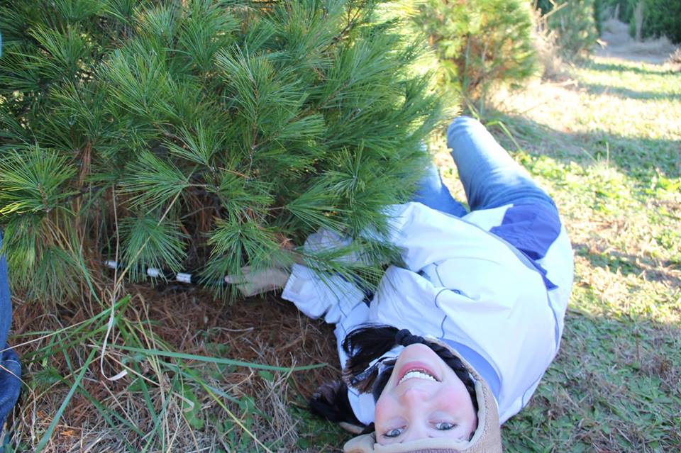
And I'll leave you with ... a picture of my friend Mary cutting her own tree. I think this is one of Mary's favorite outdoor activities! :-)


5 Comments
Such a good read! Thank you so much for writing this.
Glad you liked it!
Thanks! This is super helpful. The lack of map on that site always drives me crazy.
Glad I could help!
Thank you.