Tag: Spatial Data

Rick Wicklin 5
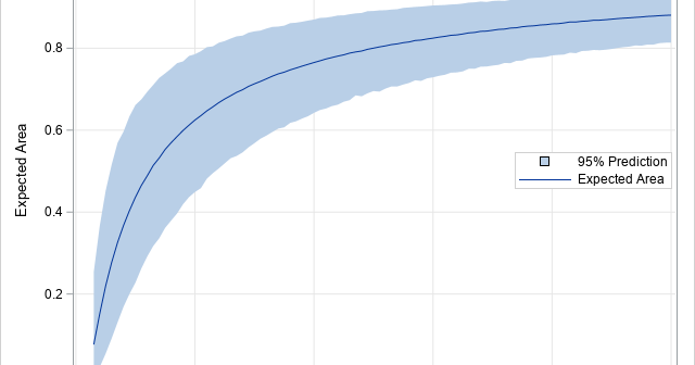
The empty-space distance plot

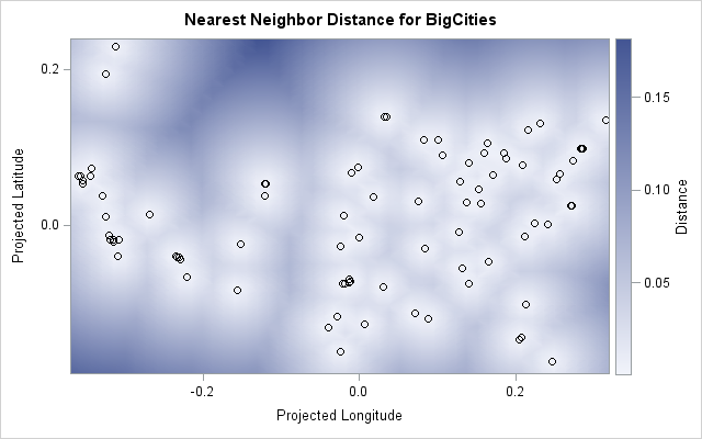
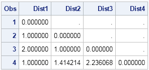
How far away is the nearest hospital? How far is the nearest restaurant? The nearest gas station? These are commonly asked questions whose answers depend on the location of the person asking the question. Recently I showed an algorithm that enables you to find the distance between a set of

Rick Wicklin 0
The distribution of nearest neighbor distances

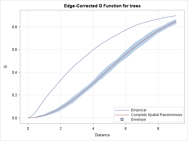
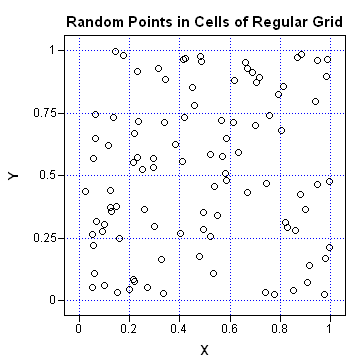
Last week I showed how to compute nearest-neighbor distances for a set of numerical observations. Nearest-neighbor distances are used in many statistical computations, including the analysis of spatial point patterns. This article describes how the distribution of nearest-neighbor distances can help you determine whether spatial data are uniformly distributed or

Advanced Analytics
Rick Wicklin 8
Compute nearest neighbors in SAS

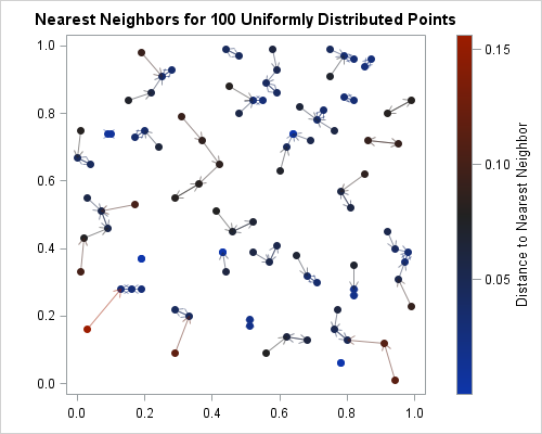
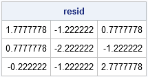
Finding nearest neighbors is an important step in many statistical computations such as local regression, clustering, and the analysis of spatial point patterns. Several SAS procedures find nearest neighbors as part of an analysis, including PROC LOESS, PROC CLUSTER, PROC MODECLUS, and PROC SPP. This article shows how to find

Rick Wicklin 7
Create a map with PROC SGPLOT

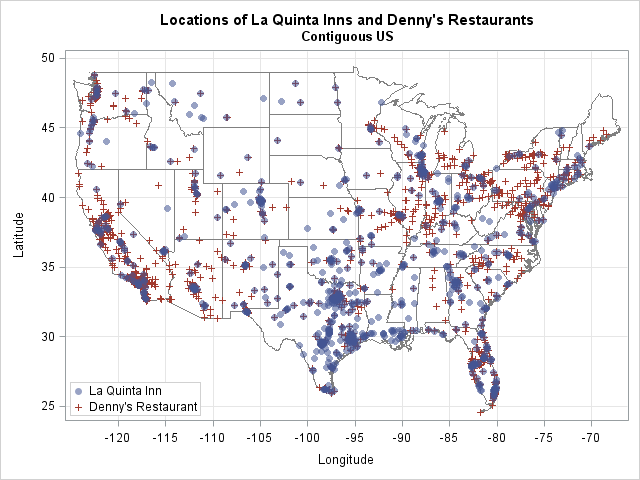
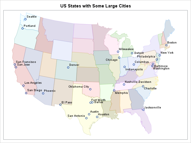
Did you know that you can use the POLYGON statement in PROC SGPLOT to draw a map? The graph at the left shows the 48 contiguous states of the US, overlaid with markers that indicate the locations of major cities. The plot was created by using the POLYGON statement, which

1 2